


Description
Introduction
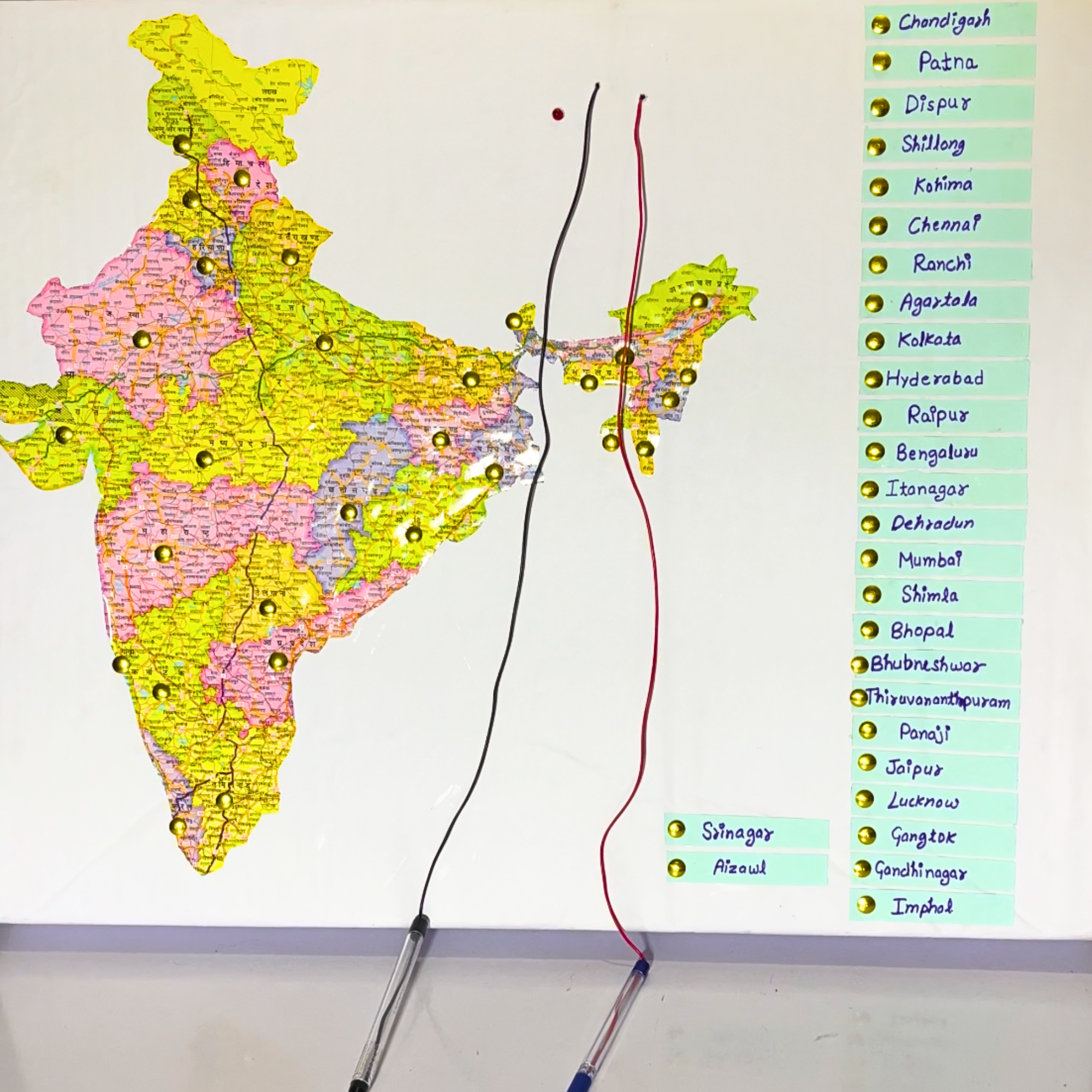
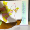
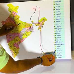
This educational project aims to teach students about Indian states and their capitals through an interactive map. The project uses a map where states are marked, and the corresponding capitals are listed vertically in boxes on the right. By touching the correct state to the correct capital, students are provided with immediate feedback via visual (LED blink) and auditory (buzzer sound) signals, making learning both engaging and fun.

Working
- The Indian map has states marked with metal pins.
- On the right side of the map, the capitals of each state are written in boxes.
- When a metal pin representing a state is touched to the correct capital pin, an LED light blinks and a buzzer sounds to indicate a correct match.
- If the wrong state is matched with a capital, no response occurs.
- The system uses sensors to detect the correct connection between state and capital.
Applications
- Educational tool for students to learn about Indian states and capitals.
- Can be used in classrooms, museums, and learning centers to make geography lessons interactive.
- Helps in developing sensory and motor skills through interaction.
- Useful in quiz games or competitive events focusing on Indian geography.
For more details about the product,
please reach out to us at:
Phone: 8130231489
Email: support@electricalbro.in
We’re here to help!


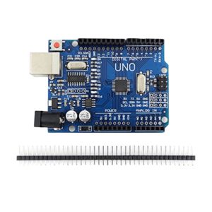 Arduino UNO R3 SMD Board for Electronics Projects and Learning
  SHT31 Temperature Humidity Sensor Module
  MPU-6050 6DOF 3 Axis Gyro With Accelerometer Sensor Module
  HC-SR04 Ultrasonic Sensor (Range Finder Sensor)
 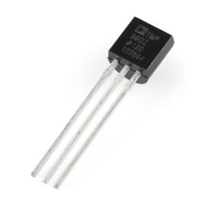 TMP36 Temperature sensor
  MAX31855 K-Type Thermocouple Module
Reviews
There are no reviews yet.